
MexicoCity
.cdmx.gob.mx

--
--:--
☁️ --°
< Regresar

Overlooks

Mexico City can be discovered from the heights, where volcanic geography and urban monumentality converge. Scenic overlooks, Cablebús stations, and natural elevations safeguard one of the most unique landscape offerings in the country: from imposing skyscrapers in the financial heart to hills and volcanoes that narrate the geological history of the basin. Ascending to these points means embarking on a journey to understand the enormous scale of the metropolis, observing how the city has adapted to its environment and how each area offers its own perspective.

In the Historic Center, pioneering buildings such as the Edificio La Nacional and the emblematic Torre Latinoamericana offer the most classic panoramic views of the downtown area, allowing visitors to admire the original layout of the viceregal streets. Towards the west, modernity rises in the Paseo de la Reforma corridor with its glass and steel giants such as the Torre Mayor and Torre Reforma. The immensity of the Chapultepec Forest can be appreciated in all its splendor from the terraces of the National History Museum (Chapultepec Castle) and Line 3 of the Cablebús, which runs through the four sections of the forest, extending towards the Alameda Poniente, a corner where the city subtly merges with the ravines.

The north of the capital reveals a rugged topography that today can be flown over thanks to innovation in urban mobility. The Cablebús system with its Line 1, featuring stations like La Pastora, Campos Revolución, and Ticomán, has transformed the heights into dynamic viewpoints that expose the density of the area. This region is guarded by millennial formations that serve as natural watchtowers, highlighting the El Tepeyac National Park, the Cerro del Chiquihuite, the Cerro del Tenayo, the Cerro Los Gachupines, the Guadalupe or El Borrego Volcano, and spaces of devotion in the heights such as the Ermita del Calvario in Tlacoyucan.

Towards the east, the immensity of Iztapalapa and its surroundings unfolds through Line 2 of the Cablebús, an aerial journey that passes through panoramic stations such as Quetzalcóatl, San Miguel Teotongo, and Santa Marta. The landscape in this region is marked by a deep volcanic heritage and hills that rise as witnesses of time: the Xaltepec Volcano, the Yahualica Volcano, the Tlalmanalco Volcano, the Cuaxomatl or Caldera Volcano, and the historic Peñón del Marqués (Peñón Viejo), which was once a solitary islet in the vast Lake Texcoco.

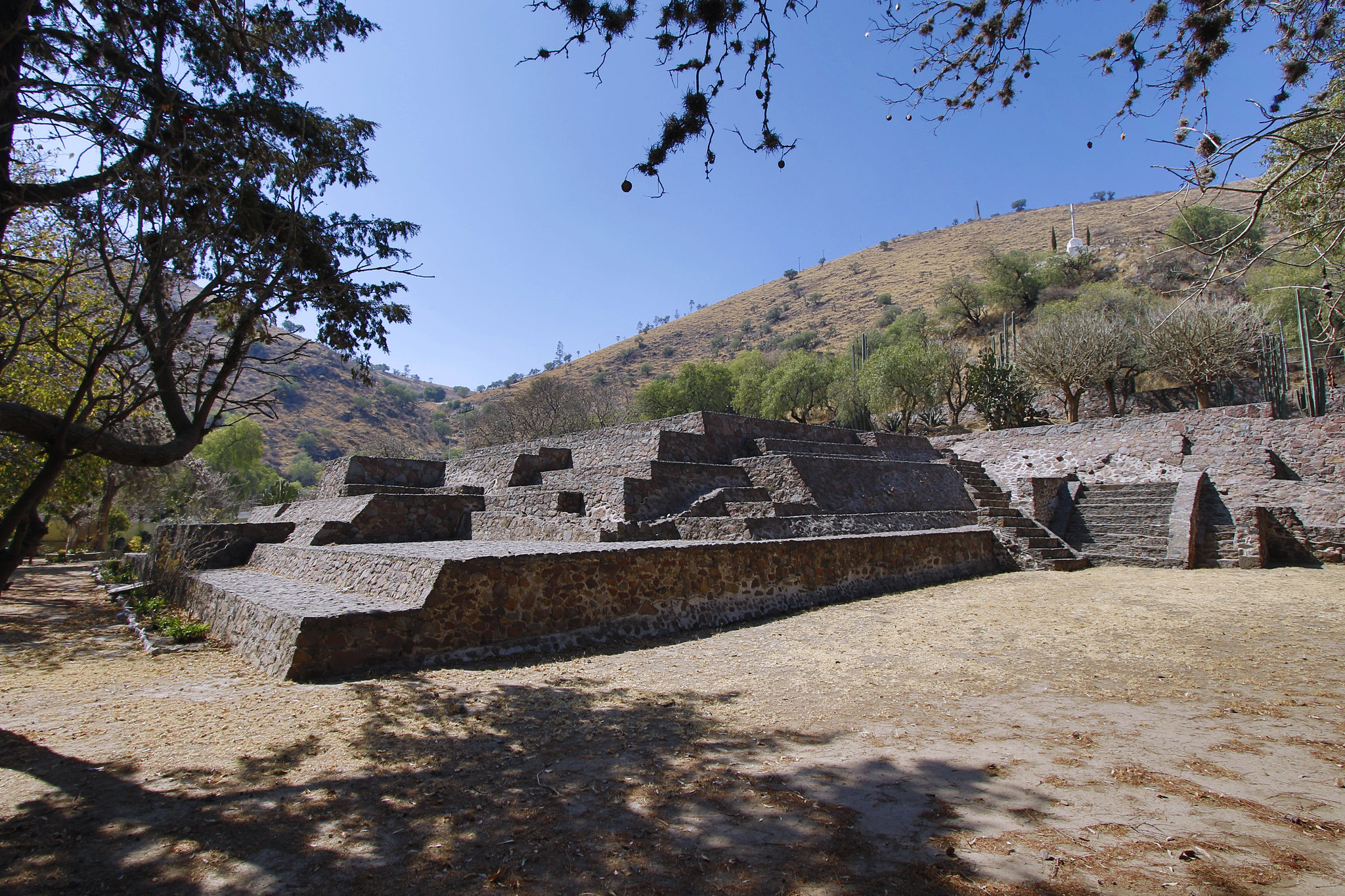
The south and southwest of the city reveal its greenest and most mountainous facet, where the urban environment harmoniously dialogues with volcanic rock and temperate forests. Natural viewpoints of enormous archaeological and scenic value stand out here, such as the Cerro del Judío (Mazatépetl), the Zacatépetl Park, the Cerro de Xochitepec, and the Hermitage and Viewpoint of the Cerro de San Miguel. The original volcanoes dictate the horizon, inviting the exploration of the Teuhtli Volcano and the mystical Xitle Volcano. Ecological conservation can be admired in the Mexico City Ecological Park, the San Nicolás Totolapan Ejidal Park, and Los Dinamos, extending towards the vast landscapes of the Chichinautzin Biological Corridor and the foothills of the El Tepozteco National Park.

We invite you to explore each of these scenic overlooks below, as well as to learn more about the cable car transport system and chilango skyscrapers:
Cablebús
Rascacielos

46 - 49 of 49

Plaza Comercial Pino Suárez

Pin Izazaga S/N esquina, José María Pino Suárez, Col. Centro, Alc. Cuauhtémoc, 06090 CDMX

Ir de compras

Torre Latinoamericana

Pin Eje Central Lázaro Cárdenas 2, Centro Histórico, Alc. Cuauhtémoc, 06000 CDMX

Centro Histórico (Imperdibles)

Torre Mayor
Torre Mayor

Pin Paseo de la Reforma #505, Col. Cuauhtémoc.

Public Art/Monuments

Torre Reforma
Torre Reforma

Pin Reforma #483, Col. Cuauhtémoc.

Overlooks

Axolotl Chat